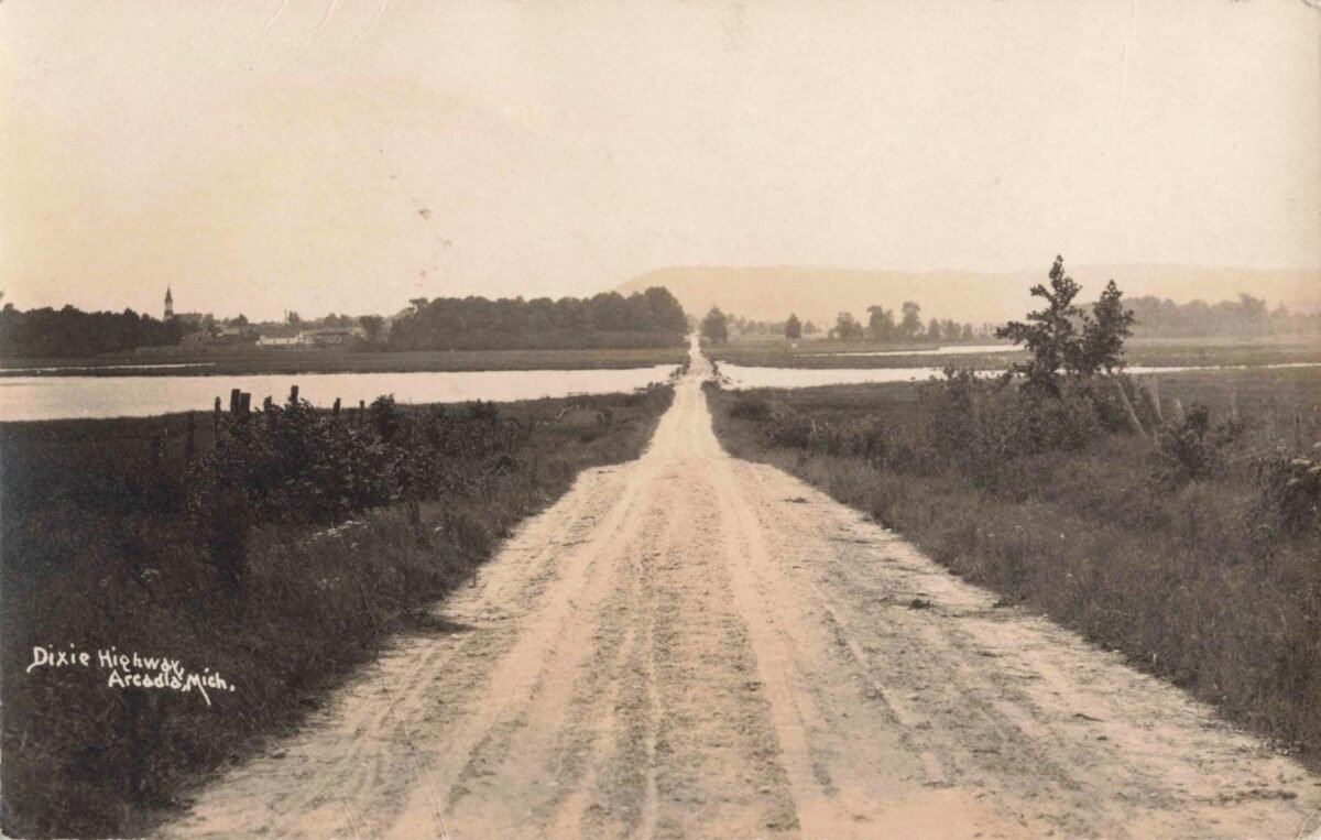
This early photograph shows a broad, unpaved road labeled “Dixie Highway, Arcadia, Mich.” stretching across low ground toward the village of Arcadia, with water on both sides and a church steeple visible in the distance.
Michigan’s Dixie Highway was part of the named “auto trail” system that guided motorists before numbered highways became standard. The route was organized beginning in 1915, while Michigan adopted numbered trunklines in 1919 and the national U.S. highway system followed in 1926. Arcadia-area planning records confirm that Dixie Highway routes passed through this part of northwest Lower Michigan.
Look for more about this photo in the comments below.
#MichiganHistory #ArcadiaMichigan #DixieHighway