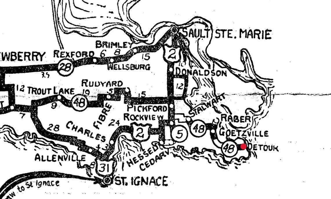
A historical road map helps show why the eastern Upper Peninsula became an important crossroads for travelers between Michigan’s lakes and communities.
This black-and-white map includes Sault Ste. Marie, St. Ignace, Pickford, Rudyard, Hessel, Cedarville and other towns in the region. Roads cross a network of waterways and settlements that have long influenced transportation around the Straits of Mackinac and the route toward DeTour.
Before modern navigation apps, a printed map was an essential part of planning a journey. Travelers used route numbers and town names to choose a path, while local businesses depended on people moving through the region.
The map also recalls the importance of the eastern Upper Peninsula’s position between Great Lakes shipping routes and inland roads.
Do you remember traveling through the eastern Upper Peninsula with a paper map?