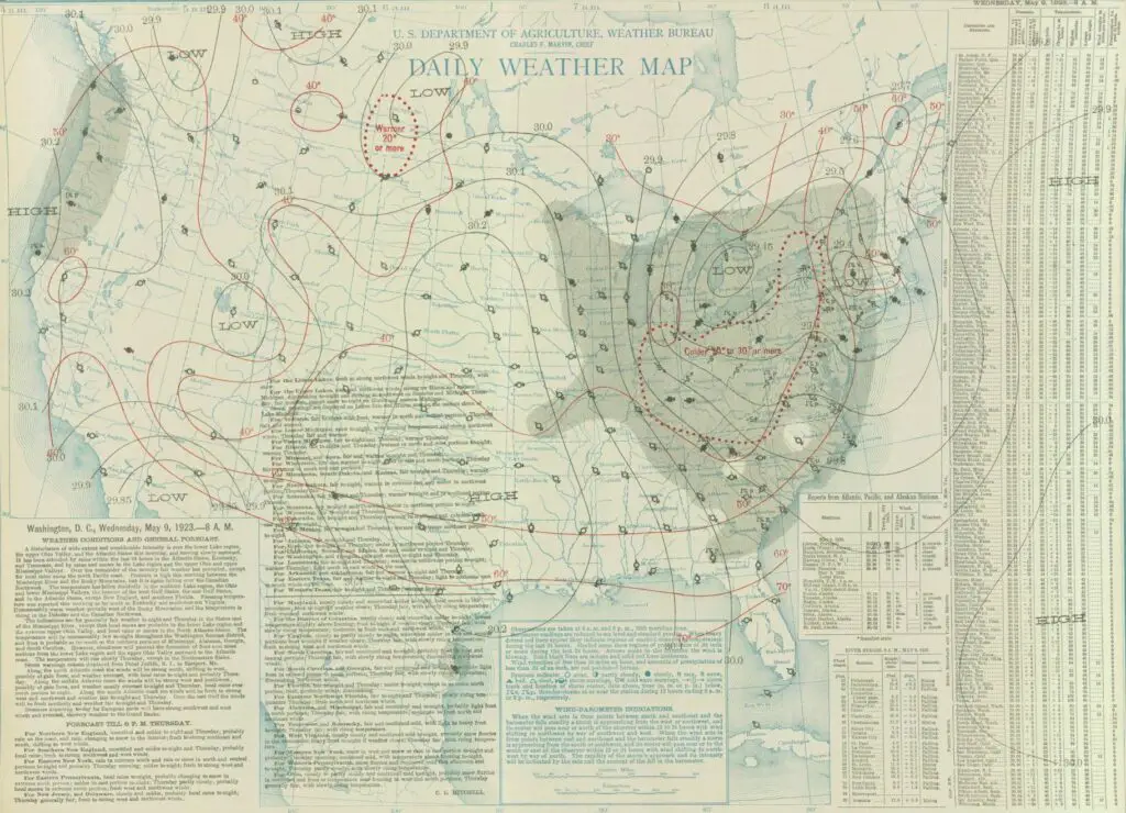
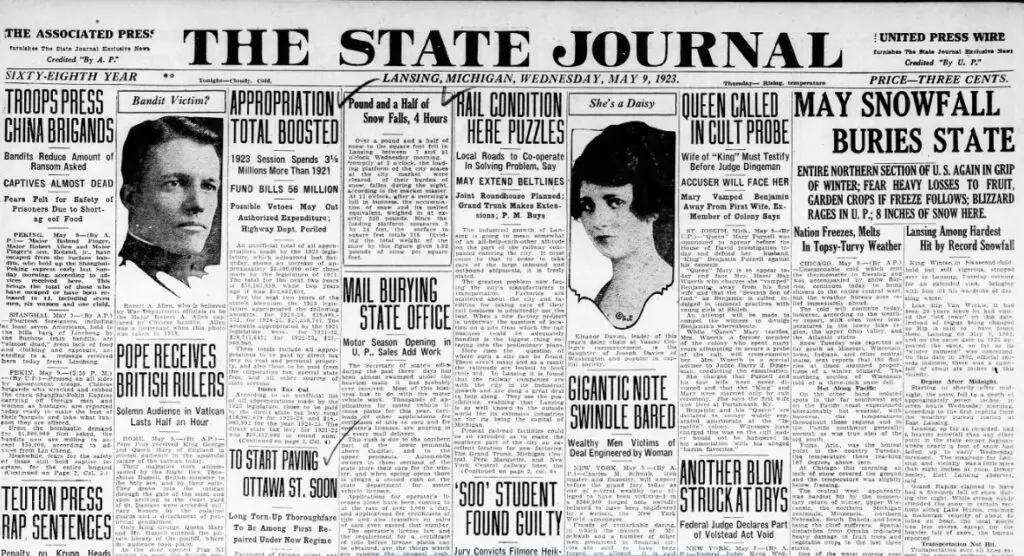
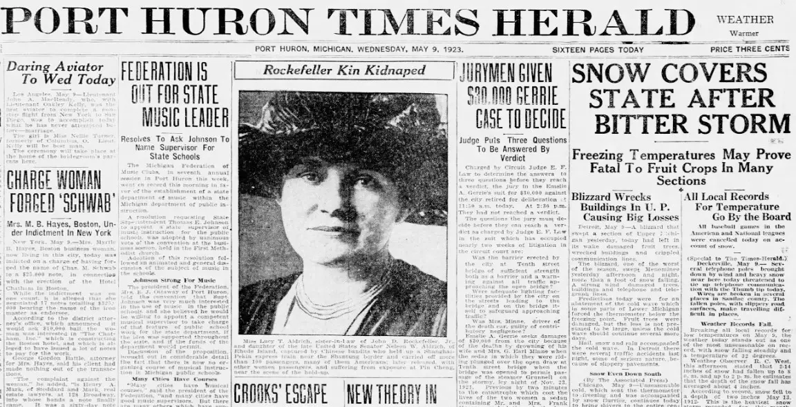
Next Tuesday, May 9th, marks the 100th anniversary of a truly exceptional event in Michigan’s weather history: the Great Michigan Blizzard of May 1923. This unparalleled late-season storm brought record-breaking snowfall and freezing temperatures, causing widespread disruptions and leaving a lasting impression on those who experienced it. In this blog post, we will delve into the meteorological factors that contributed to this rare event, the challenges faced by the communities caught in its grip, and the shattered records, many of which still stand today.
The Meteorological Anomaly – The Arctic Cold Front and its Effects

The Great Michigan Blizzard of May 1923 resulted from an unusual combination of meteorological conditions. On May 8th, a strong Arctic cold front swept Southeast Michigan, rapidly causing temperatures to plummet. In Detroit, the temperature dropped from a near-normal 62°F at 1:00 pm to a frigid 34°F by 6:00 pm. This stark temperature change set the stage for some truly astonishing weather developments for the month of May.
The Birth of the Blizzard
On the morning of May 9th, a low-pressure area developed along the cold front in northwest Ohio and moved over Lake Erie during the afternoon. This developing system pulled warm, moist air from the Ohio Valley, which combined with the unseasonably cold air mass already in place over Southeast Michigan. As a result, heavy, wet snow began falling during the forenoon hours and continued throughout the afternoon.
The Impact on Michigan’s Communities – Record-Breaking Snowfall

The Great Michigan Blizzard of May 1923 shattered numerous records for snowfall amounts and lateness in the season. In Detroit, six inches of snow were reported on the ground by 8:00 pm on May 9th. However, the situation was even more remarkable further west and north of Detroit. Snowfall amounts ranged from six to nine inches in areas like Ann Arbor, Howell, Pontiac, and Port Huron, while Flint and Lansing saw around a foot of snow.
Widespread Damage and Disruptions
The heavy, wet snow and strong winds caused extensive damage to trees, power lines, and telephone poles, particularly in the Saginaw Valley. Despite the widespread damage, the storm’s economic impact was surprisingly small, especially regarding spring vegetation. The abnormally cold weather preceding the blizzard had delayed the green-up, and the insulation effect of the heavy snow actually prevented significant damage to vegetation and crops.
A Record That Still Stands – The Melting and Aftermath
By the morning of May 10th, much of the snow had melted, and the storm was just a memory by the evening. The official high temperature in Detroit on May 9th was 39°F, occurring just after midnight before the storm began. The low was 31°F, happening during the storm in the afternoon. The mean temperature for the day was 35°F, a staggering 21 degrees below the normal of 56°F.
The Lasting Legacy of the Great Michigan Blizzard
The Great Michigan Blizzard of May 1923 holds a unique place in the annals of weather history in Southeast Lower Michigan. It remains the latest and most substantial snowfall in May in Detroit, with other May snowfall records paling in comparison. The second-highest amount occurred on May 13th, 1912, with 1.5 inches, and the latest snow happened on May 31st, 1910, with a trace.
Final Thought
As we commemorate the 100th anniversary of the Great Michigan Blizzard of May 1923, we reflect on the extraordinary circumstances that led to this meteorological anomaly and the resilience of the communities affected by it. This late-season blizzard reminds us that, even in our modern era of advanced forecasting and technology, nature can still surprise us with unexpected and extreme weather events.


